

🎃 October half term is creeping up! See what’s on across the Lake District.
Tucked away just a stone’s throw from the foot of Lake Windermere, near the village of Finsthwaite, lies the enchanting High Dam Tarn. Built in the early 1800s to power the nearby Stott Park Bobbin Mill, the reservoir has since naturalised into one of the most idyllic and serene walking destinations in the region. The tarn’s tranquil waters are bordered by mixed woodlands of oak, birch, and towering Scots pine.
Whether you are seeking an easy-going family stroll, a quiet spot for a picnic in one of its sheltered shoreline nooks, or simply an escape from the National Park’s busier tourist trails, a walk around High Dam is a wonderfully atmospheric retreat that truly showcases the quiet, unspoiled magic of the Lakes.
Disclaimer: This post contains affiliate links. Should you click to purchase, it is at no additional cost to you, but we receive a small commission.
When planning your visit to the National Park, please arrive early or late in the day to avoid crowds if visiting over sunny weekends or school holidays. Please also take all litter home with you, don’t bring BBQs, and park your car in designated parking areas. Also, please use these walks as a guide; access and stiles may change.
PARKING INFORMATION: Please do not rely solely on the postcode for parking directions. In the National Park, a postcode can cover a large area. Postcodes are only provided as guidance. Please either use the Google Maps point or what3words, which are provided on every walk guide.
High Dam Tarn walk map
On all Lake District family walks it’s a good idea to have an Ordnance Survey paper map with you, even if you have your phone on you. For this walk you need the Ordnance Survey Explorer OL7 (English Lakes South-eastern Area). It’s also a good opportunity to show young kids the map features and get them started with map reading.
Need to know
DISTANCE OF WALK: 2.8km / 1.8 miles
TERRAIN: A mixture of rocky, steep paths and gravelled track
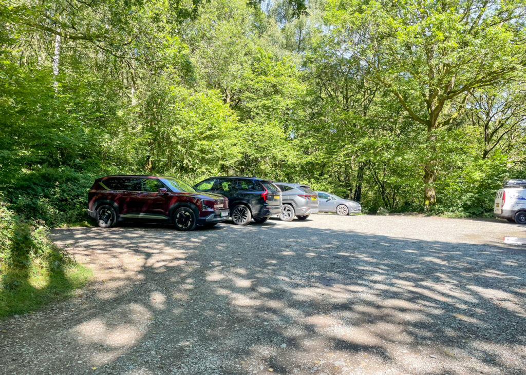
PARKING: High Dam Car Park. Click here for Google Map location. Postcode: LA12 8BJ. Parking fees apply (2 hours – £4.50, up to 4 hours – £5.50, up to 24 hours – £8.50). Payment can be made at the car park’s machines, or via the RingGo app.
WALK HIGHLIGHTS: A combination of stunning woodland and water-side scenery throughout. Opportunities for paddling and swimming. Away from the crowds, even in peak season.
HOW LONG DOES IT TAKE: Allow 1-1.5 hours
TOTAL ASCENT: 112 metres
FACILITIES: No facilities are available at any point along the walk.
The route
START: High Dam Car Park
Click here for Google Map point
Grid reference: SD 3683 8822
Post code: LA12 8BJ
what3words: ///diplomats.trader.dent
Route follows a clockwise direction.
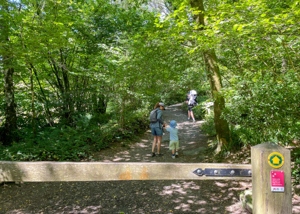
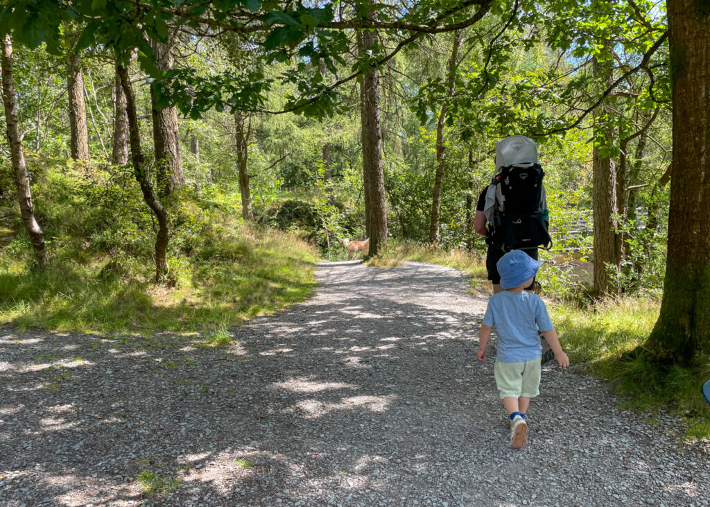
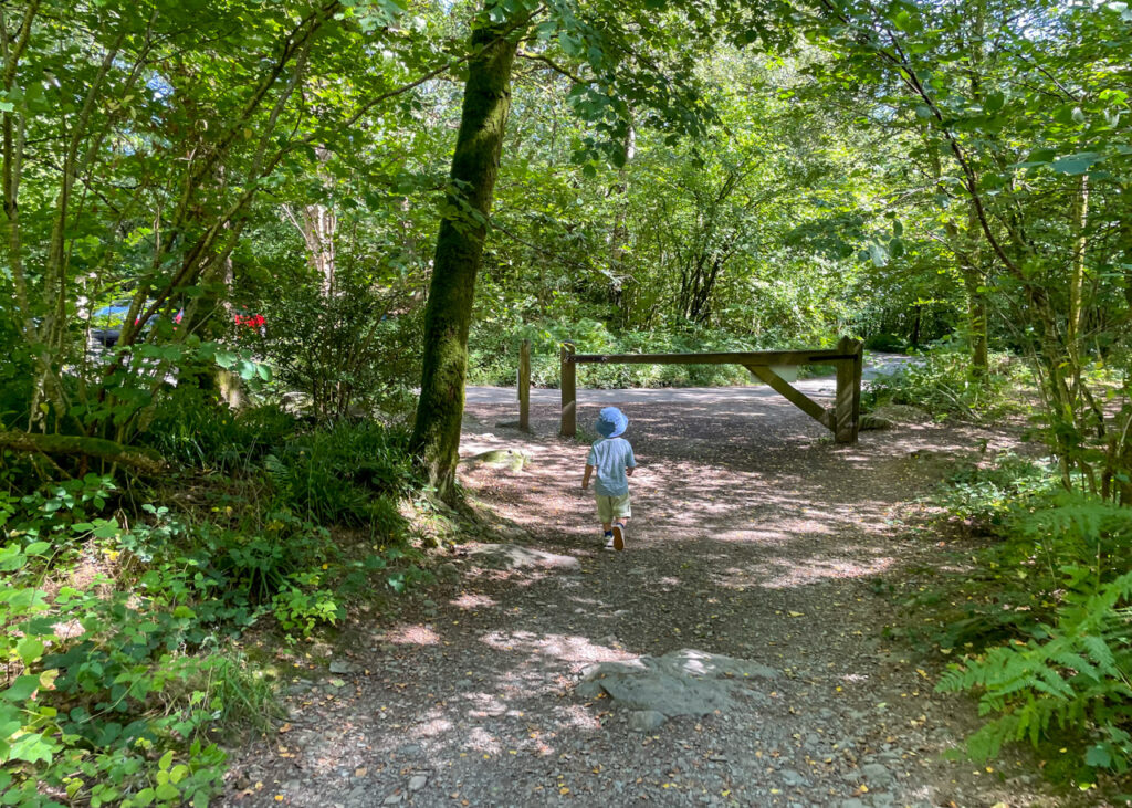
1. Exit the car park to walk past the ‘High Dam’ notice board, turning immediately right through a wooden barrier and up a gravel path signposted ‘Lake District National Park – public footpath; Greenwood Trails’. Follow the trail as it climbs uphill.
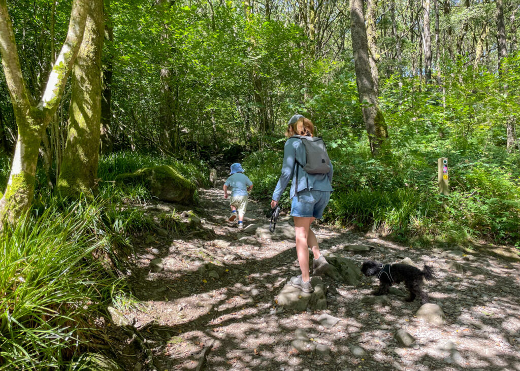
2. As you reach a fork in the path, bear left continuing up the stony trail which climbs through the woodland.

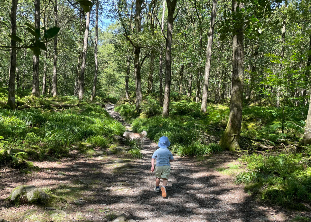
3. The path is clearly marked as it winds through the trees, heading towards the first and smallest of the walk’s two tarns. Ignore a branch off to the right to instead continue along the main route ahead, signposted ‘Greenwood Trails’.
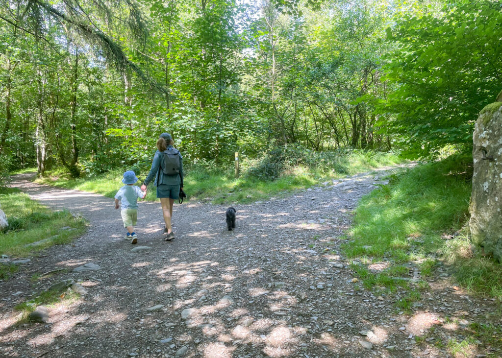
4. Just before reaching ‘Low Dam’, the path splits into a two-way fork: keep right to be shortly greeted by the first views of water.
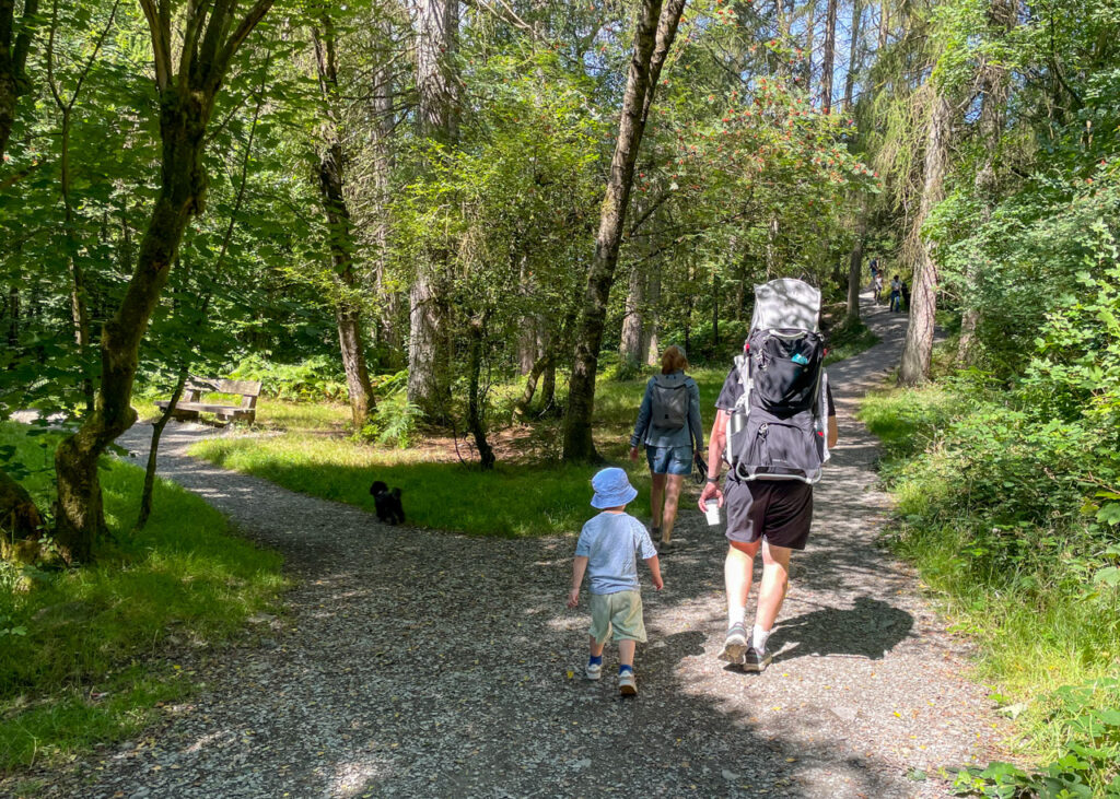
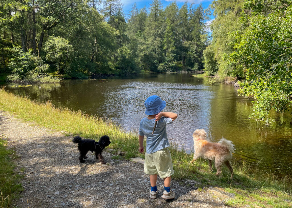
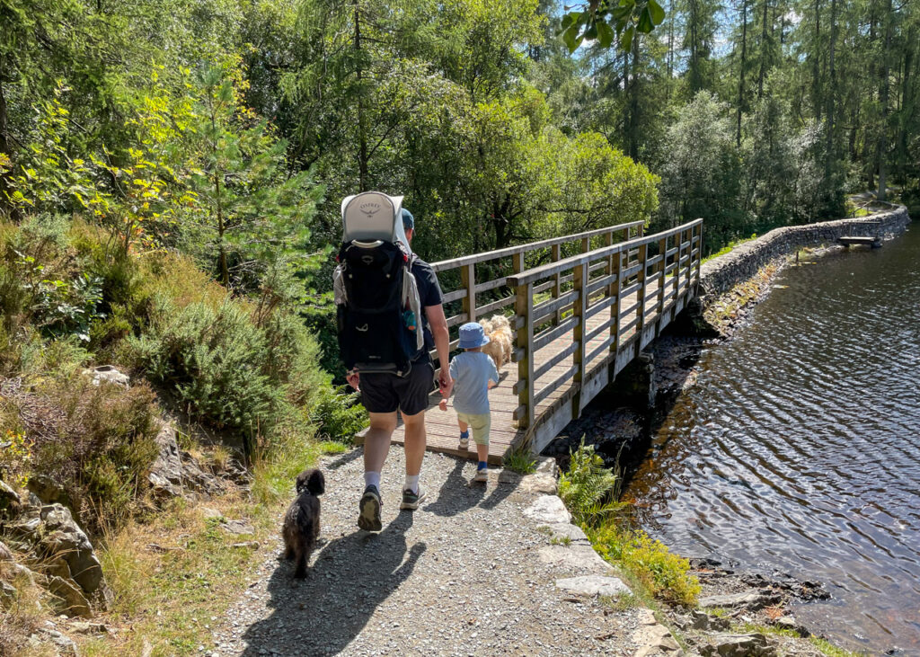
5. Continue ahead with Low Dam on your left, crossing a wooden bridge before reaching the larger, picturesque ‘High Dam’. Ignore the wooden bridge, instead turning left to walk along the dry stone wall which runs along the tarn’s edge.
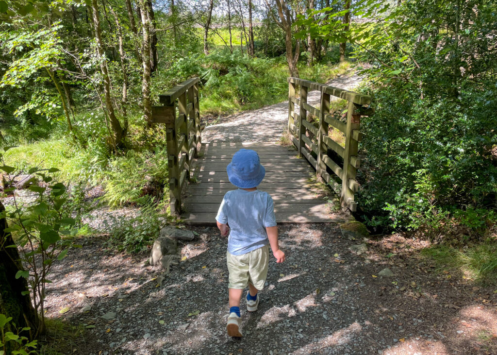
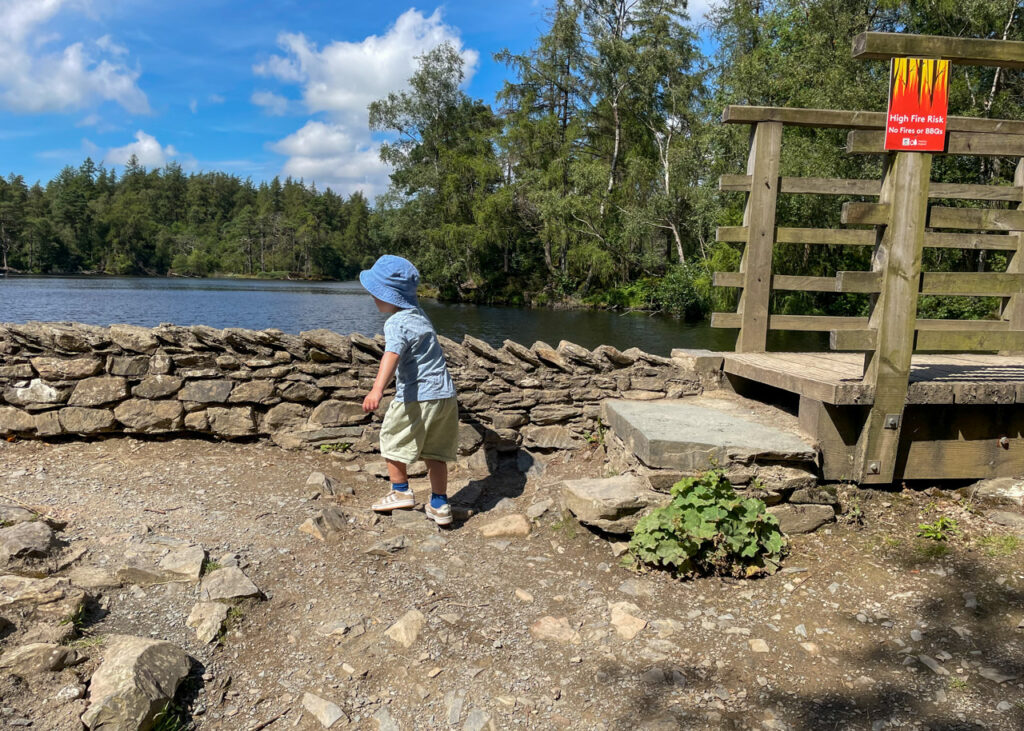
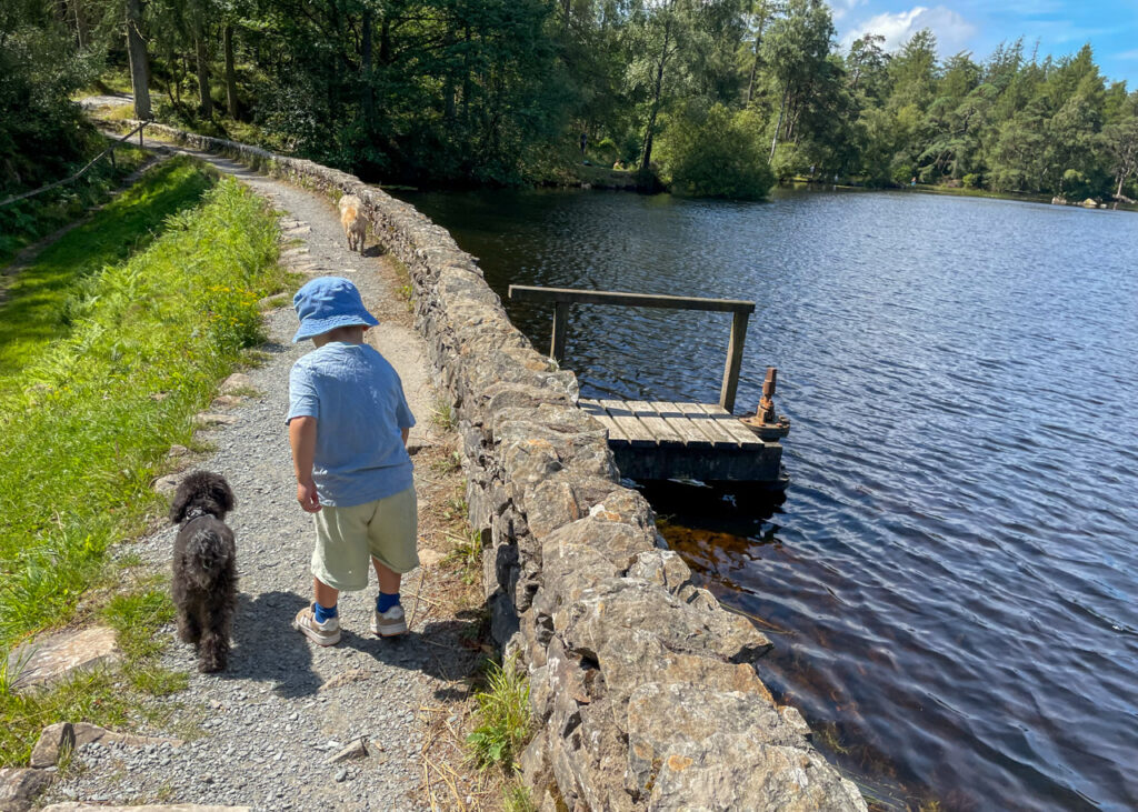
6. The path now follows a clearly marked circuit around the water, giving ample opportunity for picnic spots, paddling and swimming along the way.
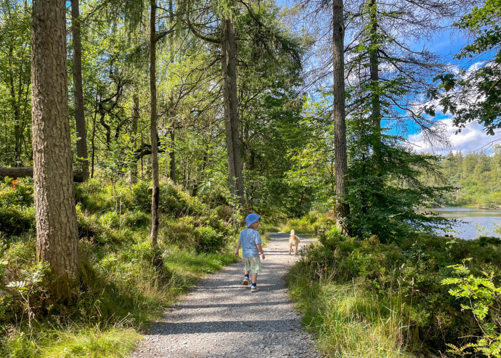

7. As you reach the tip of the tarn, two wooden bridges lead you away from the water’s edge, climbing higher into fern land; a third wooden bridge signals the start of the tarn’s wooden boardwalk. Follow this to its end where it returns to a gravelled path.
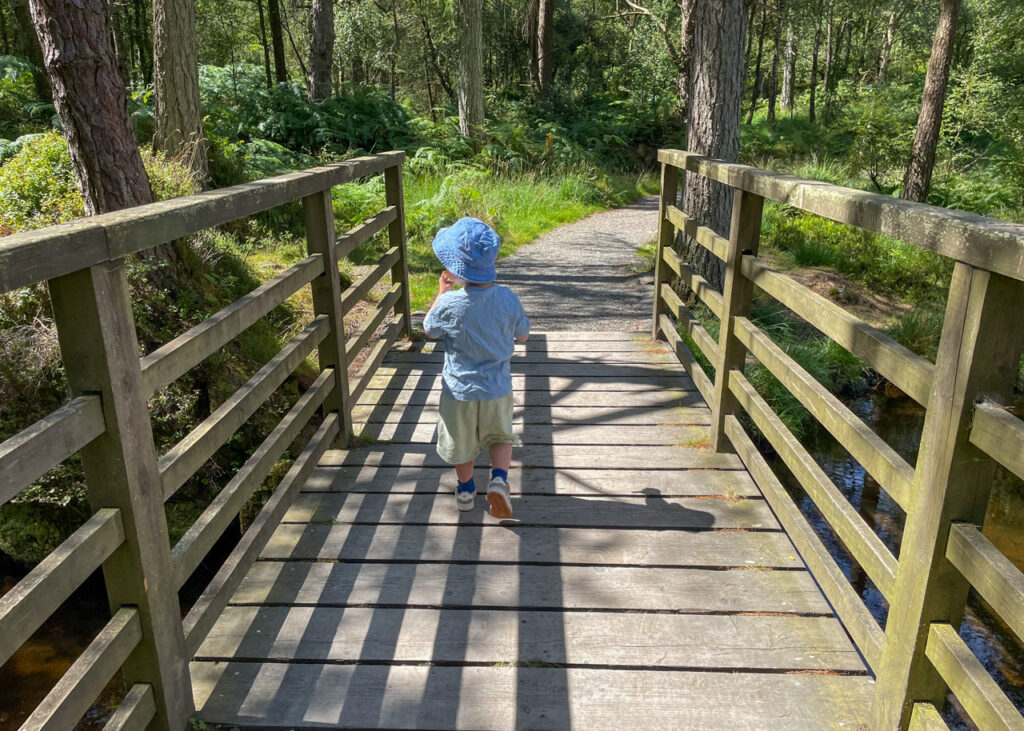
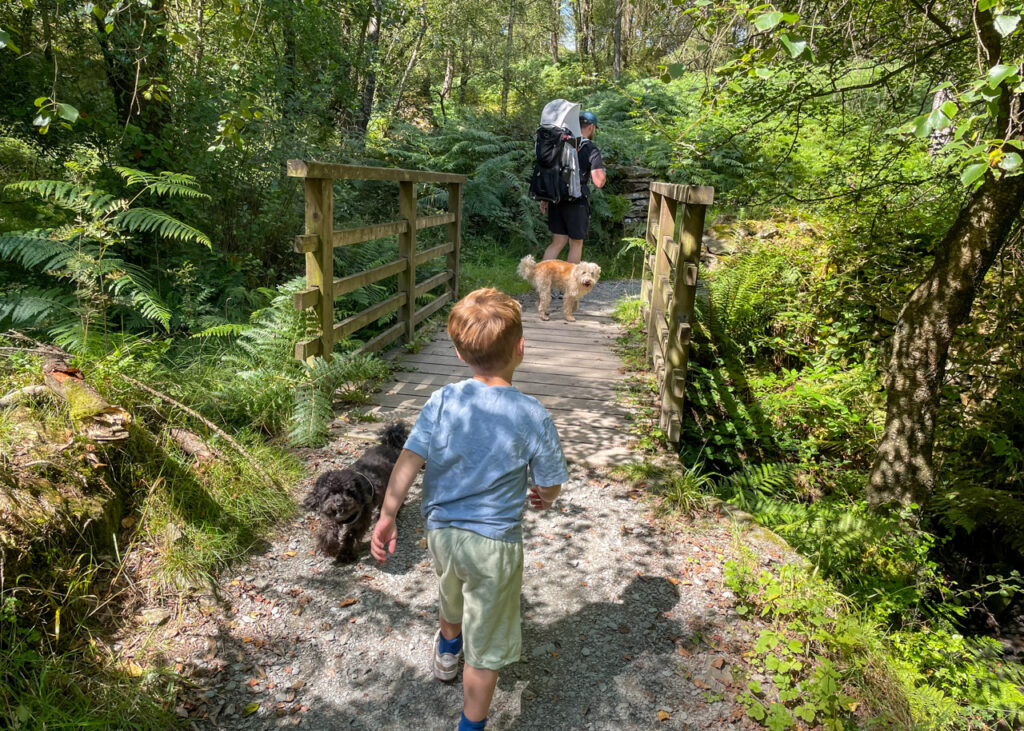
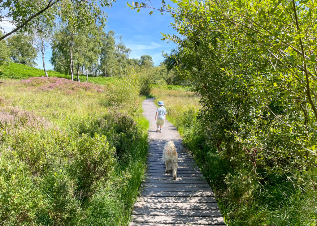
8. Follow the gravel path through a dry stone wall, ignoring two paths which fork to the left, to head back down towards the start of High Dam.
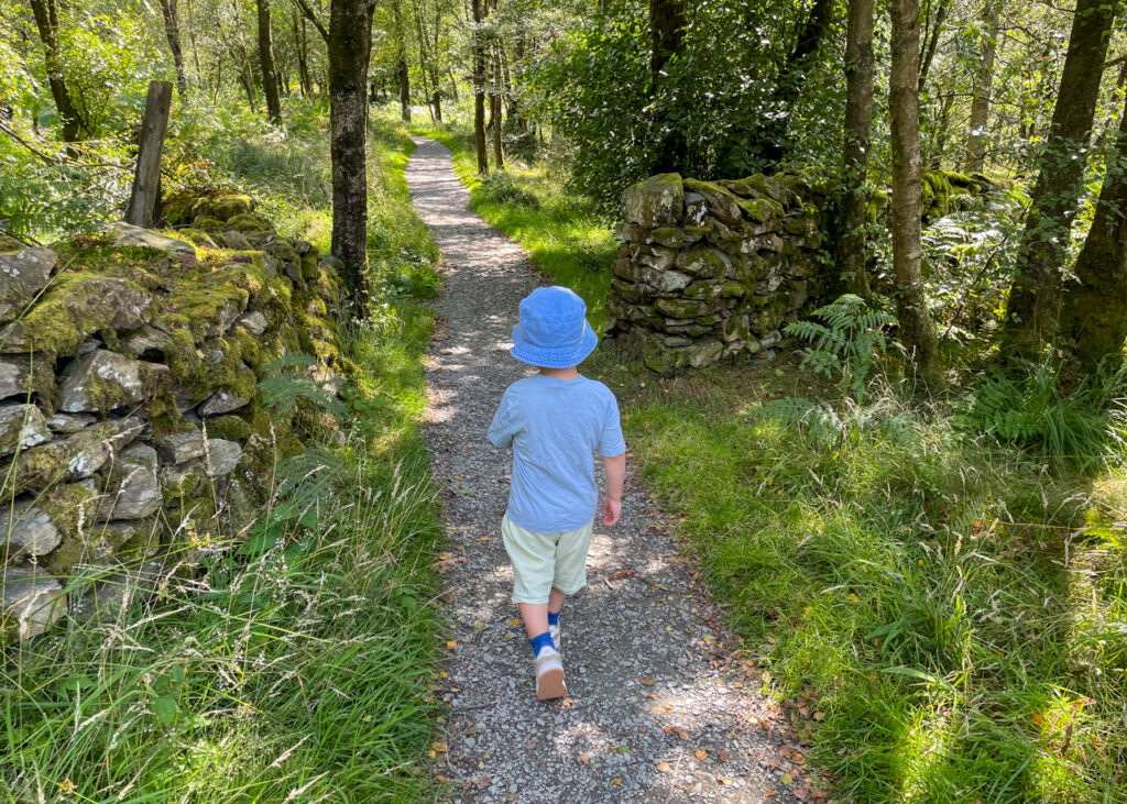
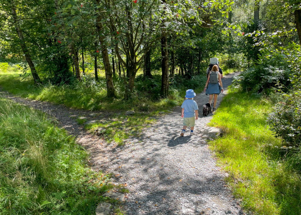
9. On your return to the tarn’s base, cross the wooden bridge and turn immediately left to retrace your footsteps downhill, back down the gravelled path to the car park.
Lake District Kids is a free online resource. If you have found this website useful for planning your family adventures, you can show your support by buying us a coffee. Thanks so much!

Also, feel free to share your walk photos in our Lake District Kids Facebook Group or on Instagram using by tagging @lakedistrictkidsuk in your caption so we can share with our wider community.
Want more ideas for family walks? Use the search walks page to find the perfect family walk.
And if you’re hiking with little ones, check out our tips for hiking with kids under 5 to help you get a extra mile or two out of those little legs.